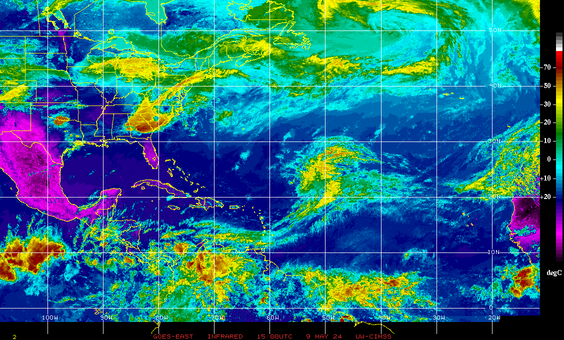
Western Atlantic Infrared Satellite Image:
Tropical Atlantic Wide Infrared Satellite Image:
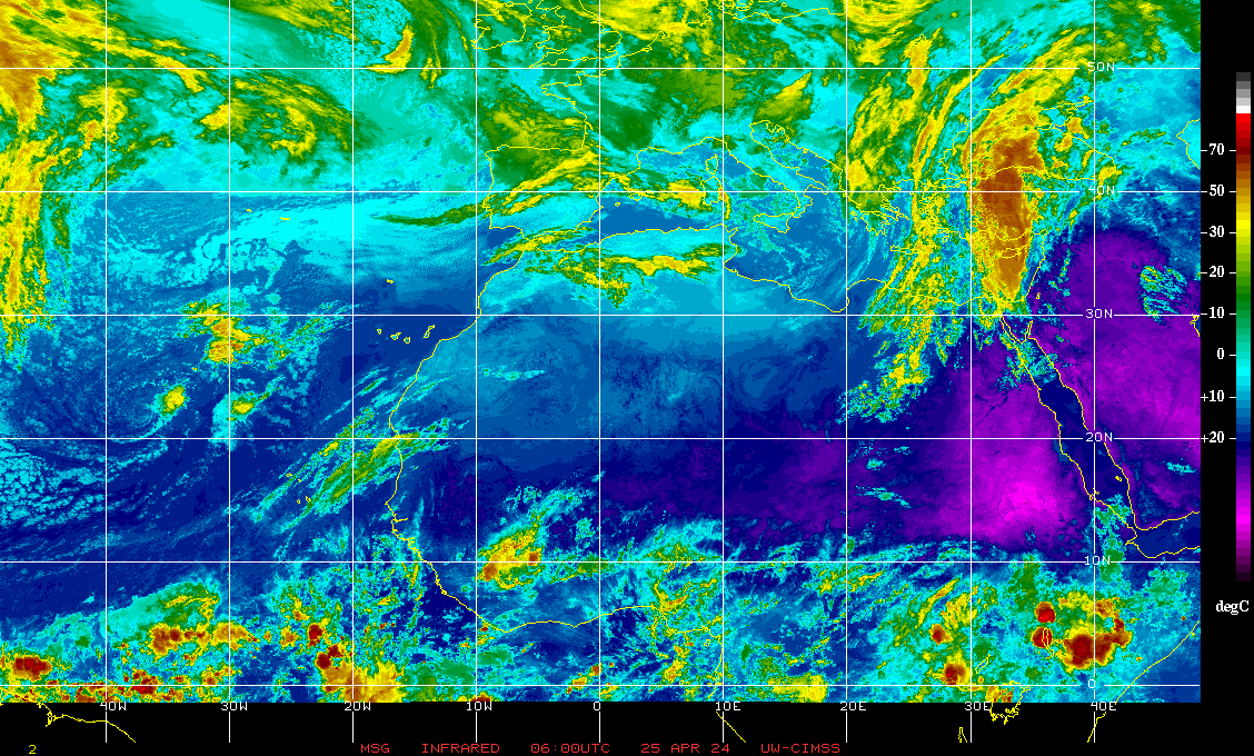
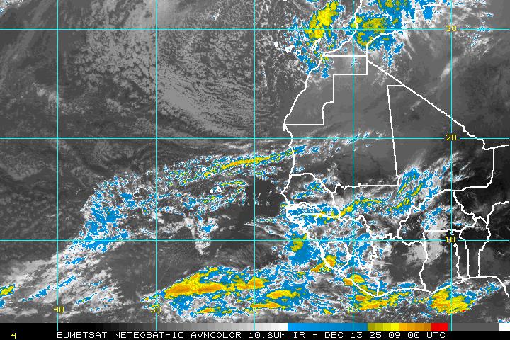
Other Infrared Satellite Images:
North Atlantic:  |
Western Atlantic:  |
Central Atlantic:  |
Gulf of Mexico:  |
Caribbean:  |
US East Coast:  |
Northwest Atlantic:  |
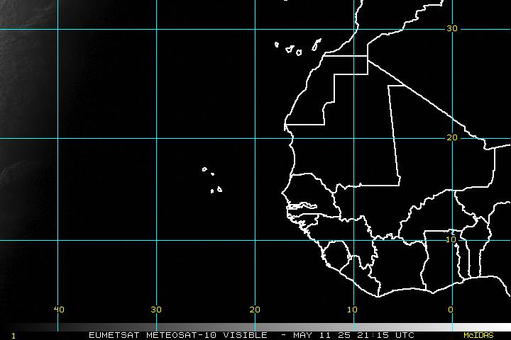
Tropical Atlantic Wide Visible Satellite Image:
Other Visible Satellite Images:
North Atlantic:  |
Western Atlantic:  |
Central Atlantic:  |
Gulf of Mexico:  |
Caribbean:  |
US East Coast:  |
Northwest Atlantic:  |
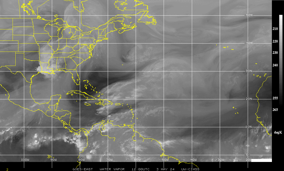
Western Atlantic Water Vapor Satellite Image:
Tropical Atlantic Wide Water Vapor Satellite Image:
Other Water Vapor Satellite Images:
North Atlantic:  |
Western Atlantic:  |
Central Atlantic:  |
Gulf of Mexico:  |
Caribbean:  |
US East Coast:  |
Northwest Atlantic:  |

